Doctoral Researcher in GIScience, Flood Informatics & Geospatial Artificial Intelligence
Specialized in integrating spatial data science, machine learning algorithms, and hydro-meteorological data to bridge physical hazard models with socio-demographic resilience dynamics.

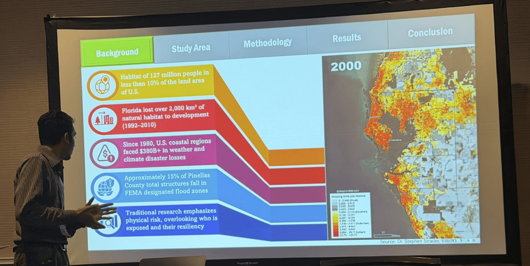
Hello, I am Md Zakaria Salim. I am a doctoral researcher specializing in the intersection of geospatial artificial intelligence, spatial data science, and disaster resilience. My research focuses on analytical frameworks to understand complex human-flood interactions and environmental vulnerabilities across scales and spatial units. By leveraging deep learning architectures, population synthesis, and advanced hydrodynamic modeling, my goal is to advance our understanding of extreme weather impacts and empower communities through precise disaster risk communication.
Peer-reviewed articles, environmental assessments, and fine-scale spatial analytics.
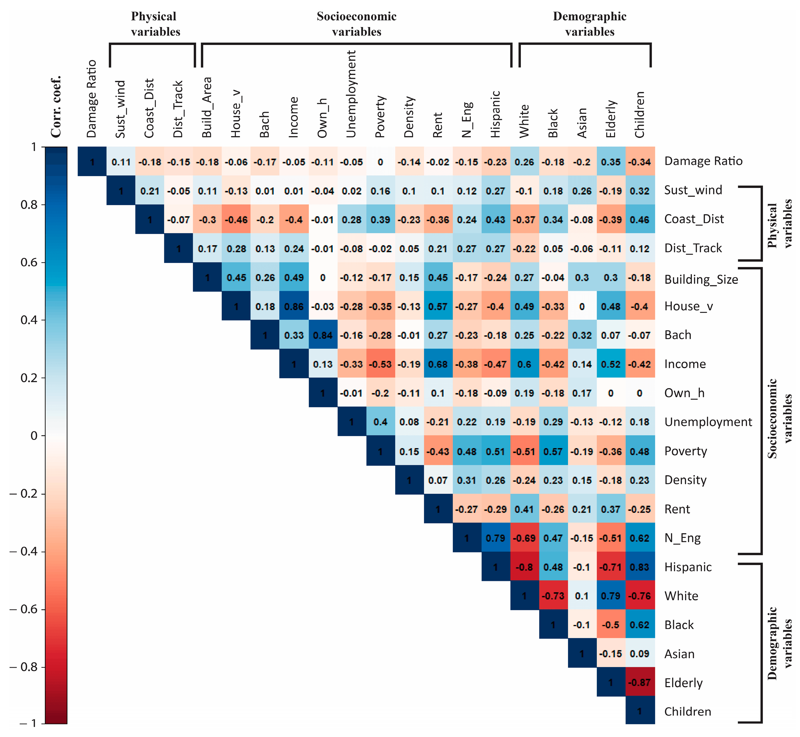
A storm's path might be natural, but its destruction is deeply unequal. We mapped out the building damage from Hurricane Ian and found a clear pattern: a neighborhood's socioeconomic status plays a massive role in how much property is lost. It is not just about the weather—it is about underlying community vulnerability.

Using satellite imagery, we tracked urban vegetation in Fort Myers before and after Hurricane Ian. The storm did not just damage buildings—it wiped out nearly 64% of the area's greenery. This massive loss highlights the hidden environmental toll of severe hurricanes on urban ecosystems.
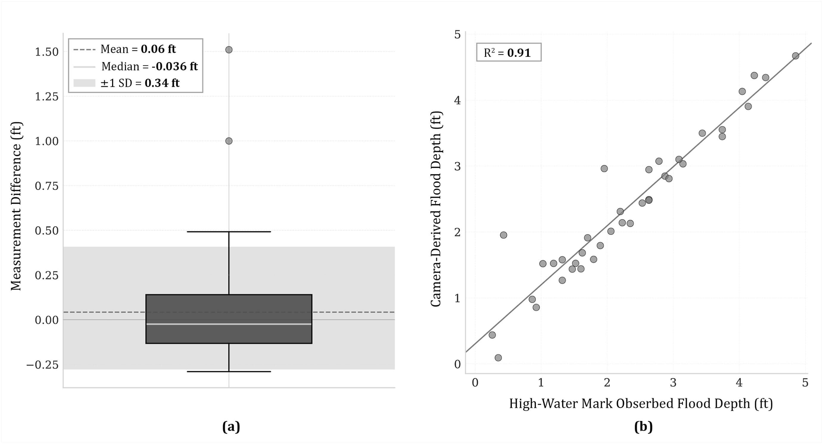
We put official flood maps to the test using real-time camera data during Hurricane Helene. The results? Many models either over-predicted or completely missed coastal flooding, especially in vulnerable communities. It is clear that we urgently need more localized, accurate forecasting.
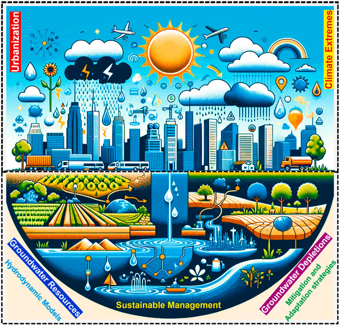
Rapid city growth across the Indian subcontinent is putting intense pressure on groundwater supplies. We reviewed the cascading effects—from worsening droughts and heat islands to food security risks—and outlined actionable strategies to adapt before the wells run dry.
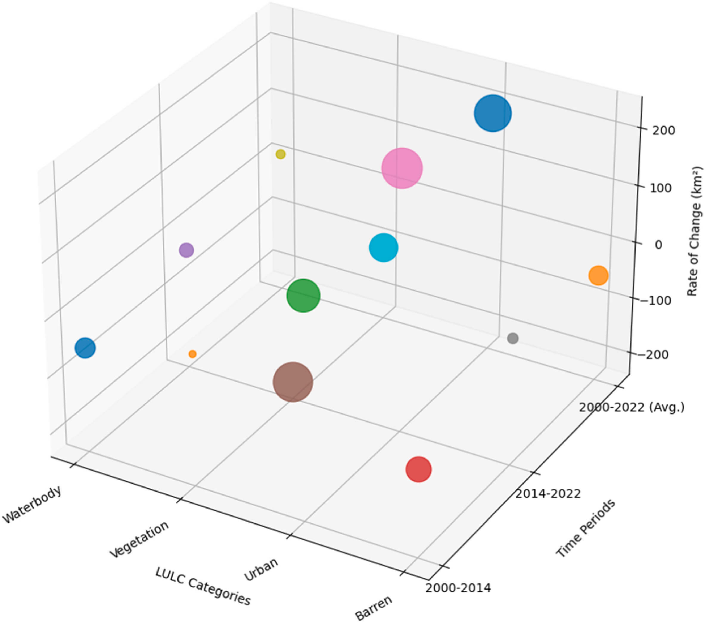
Over just two decades, rapid urbanization in Northeast Florida has consumed massive amounts of natural land. We tracked this expansion using geospatial workflows, showing a direct trade-off: as urban areas expanded by 12%, vegetation shrank, permanently altering the local landscape.
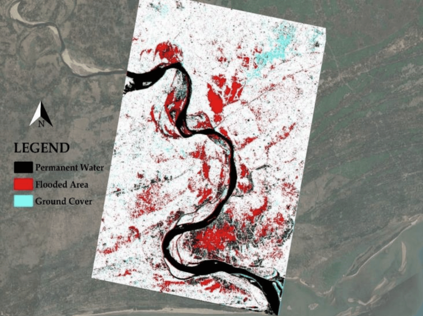
When Cyclone Yaas struck India, heavy clouds made traditional satellite imagery useless. By leveraging Sentinel-1 radar data that sees right through the storm, we developed a way to rapidly map flood extents to help emergency teams respond when every minute counts.
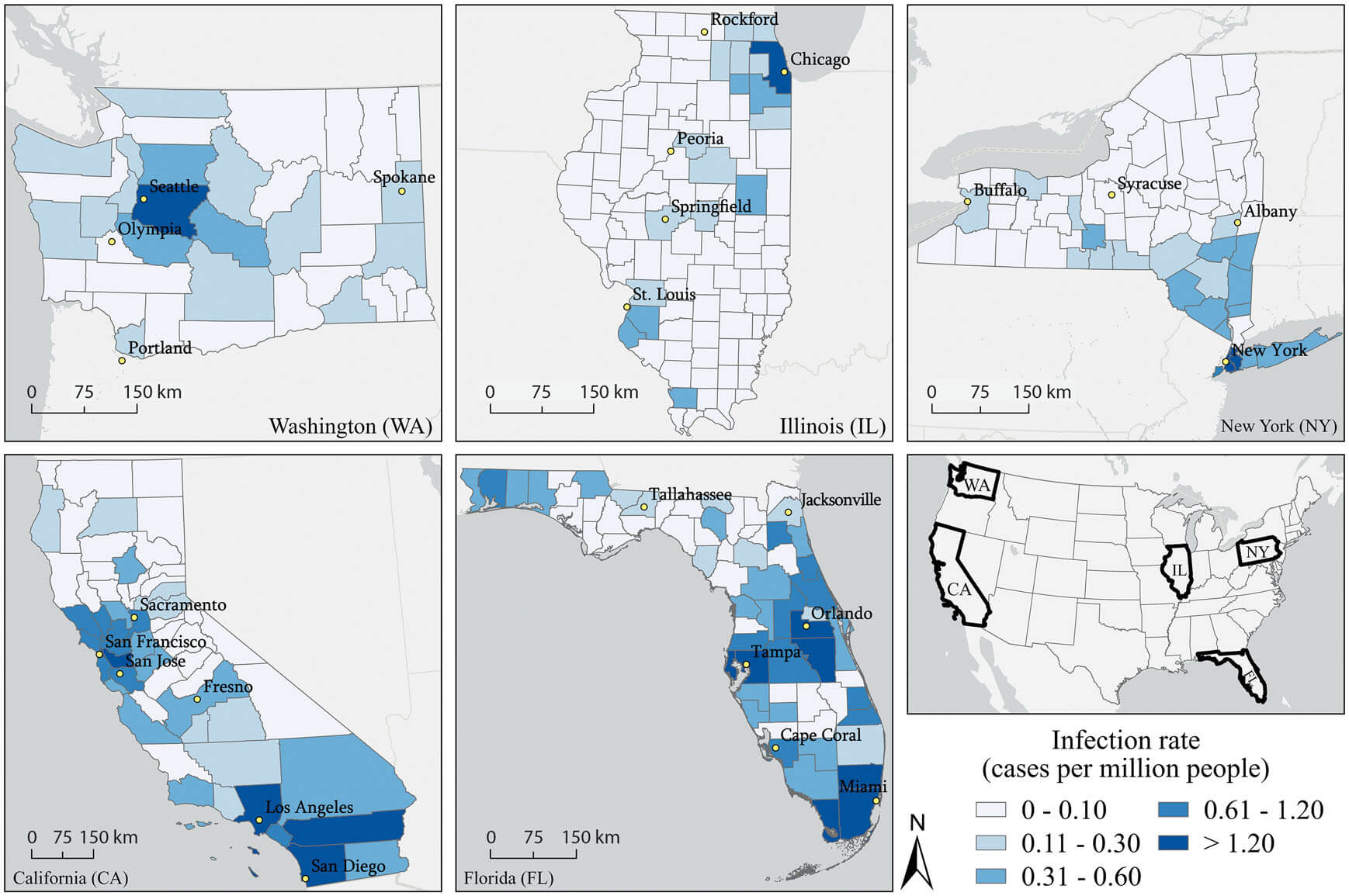
The 2022 Monkeypox outbreak spread unlike anything we had seen before. By mapping cases across five states at the county level, we uncovered how population density and specific socio-demographic factors shaped transmission, offering vital clues for managing future public health crises.
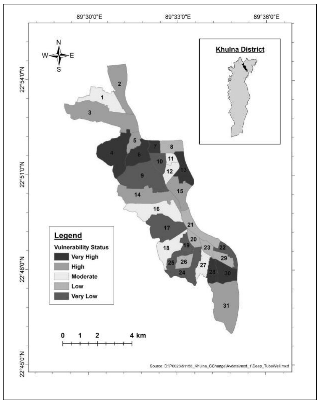
Exploding population growth and rapid urbanization are pushing Khulna City's water supply to the brink. Our analysis reveals that current resources fall short of meeting basic demands, raising a major red flag for achieving sustainable development goals by 2050.

Parks are essential for urban well-being, but they aren't accessible to everyone. By analyzing the city's network, we discovered that while Khulna has enough green space on paper, it is poorly distributed—leaving residents in 20 entire wards completely cut off from a local park.
Active spatial models, ongoing computational pipelines, and completed technical reports.
Developing a comprehensive framework to analyze national spatio-temporal trends in flood exposure across contiguous United States counties from 2010 to 2024 across multiple American Community Survey periods.
Temporal analysis of vegetation loss and environmental health from 2017 to 2022.
Tracking rapid urbanization and dangerous PM2.5 air pollution increases from 2001 to 2020.
Executing a multi-stage Iterative Proportional Updating disaggregation model and deep learning framework to translate census block group demographics into highly granular, parcel-level vulnerability predictions.
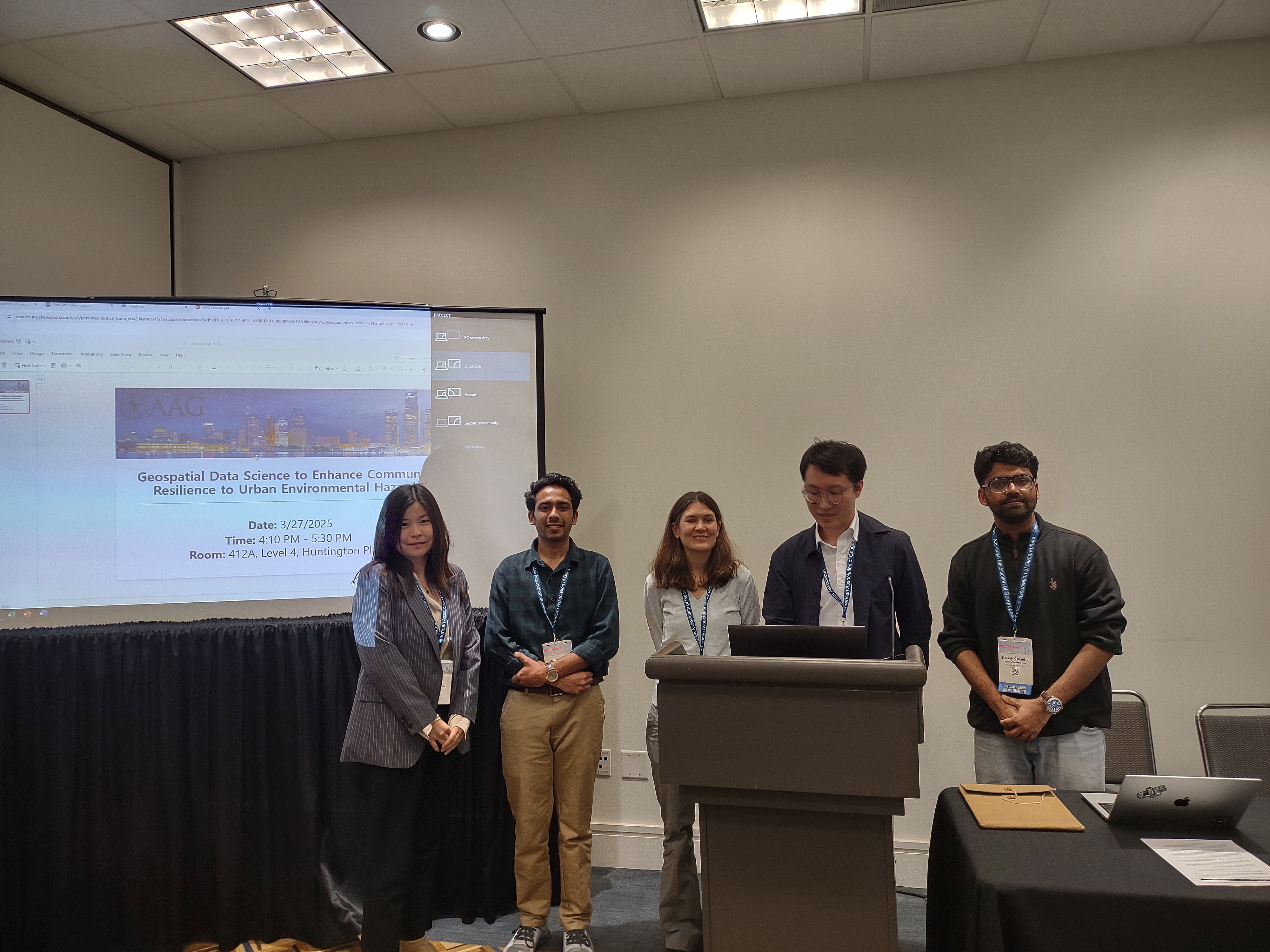
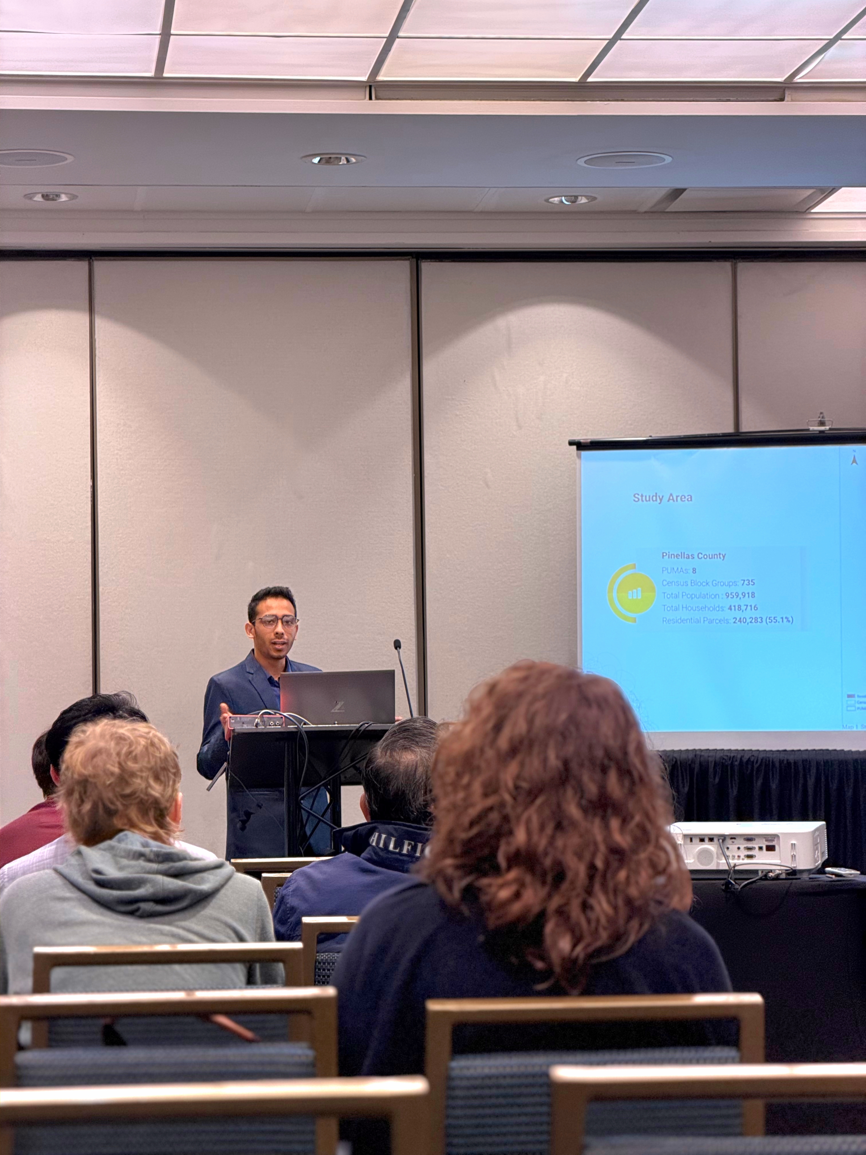
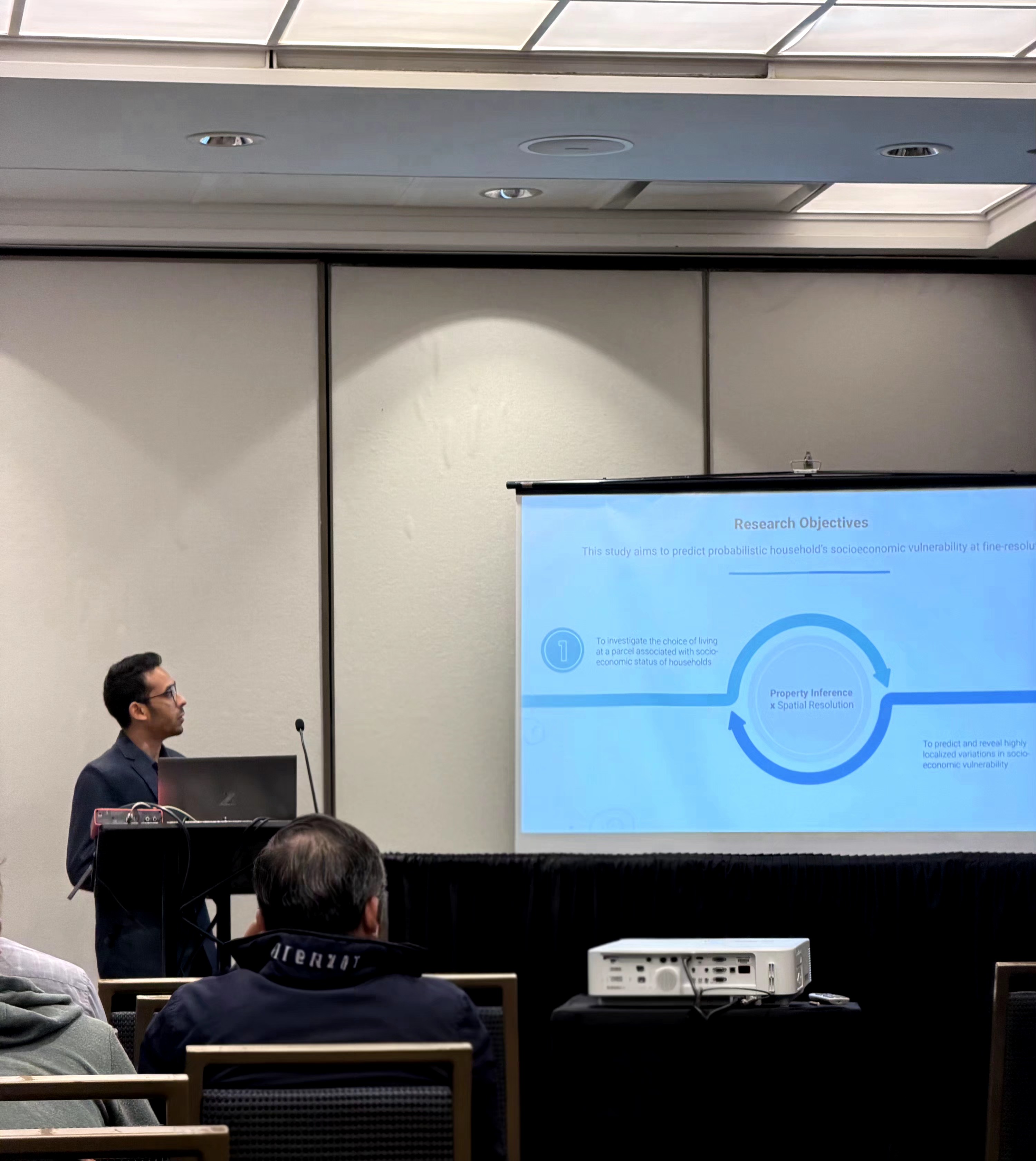
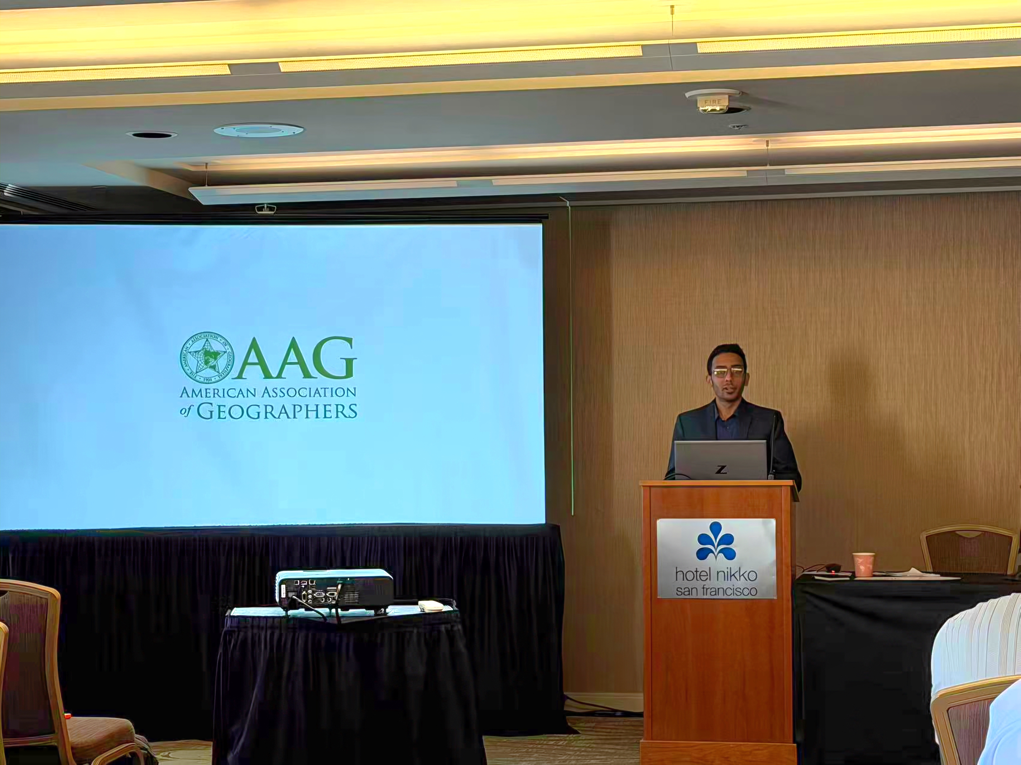
Presenting empirical findings and chairing sessions at leading geographic and informatics conferences.
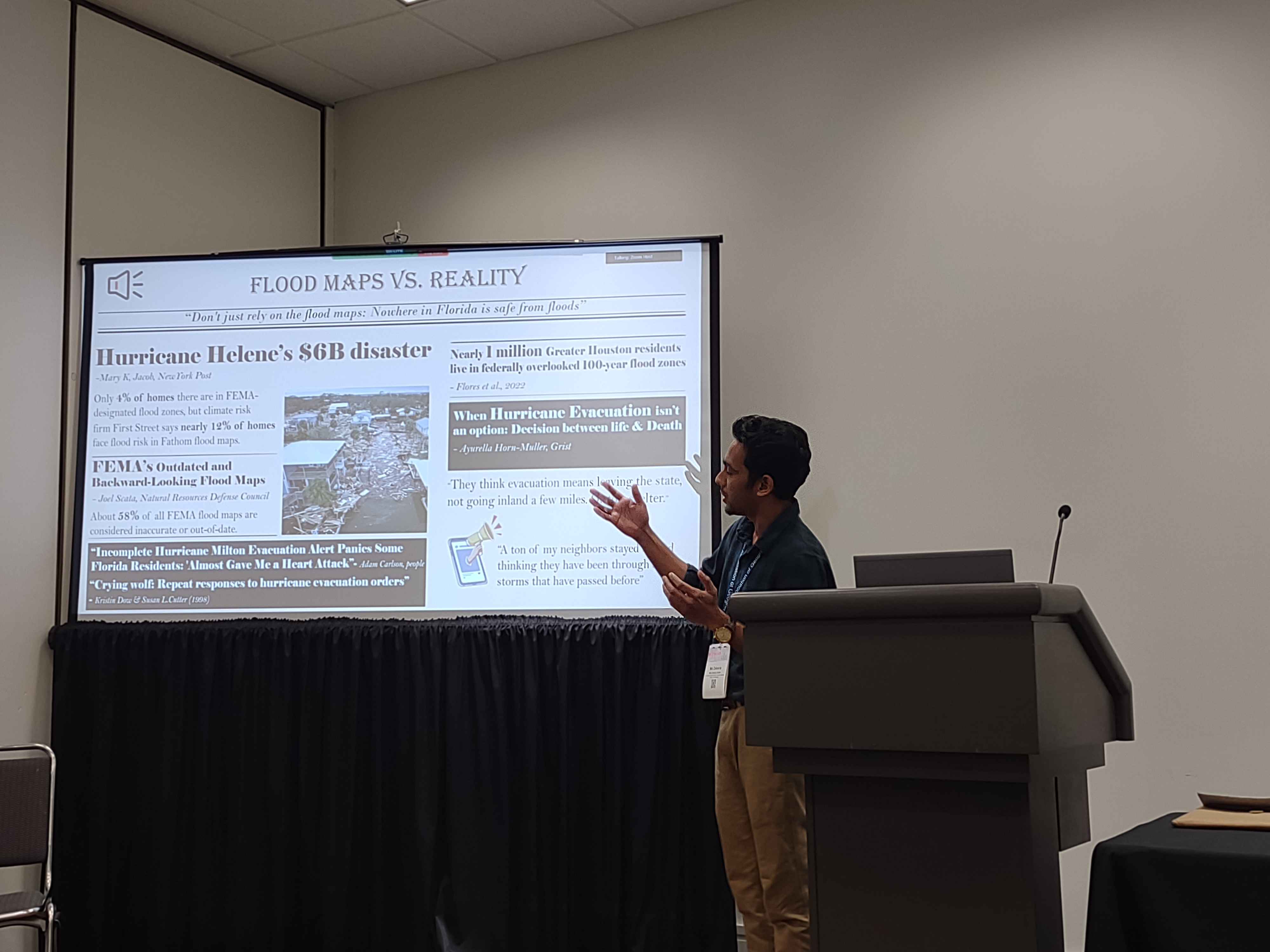
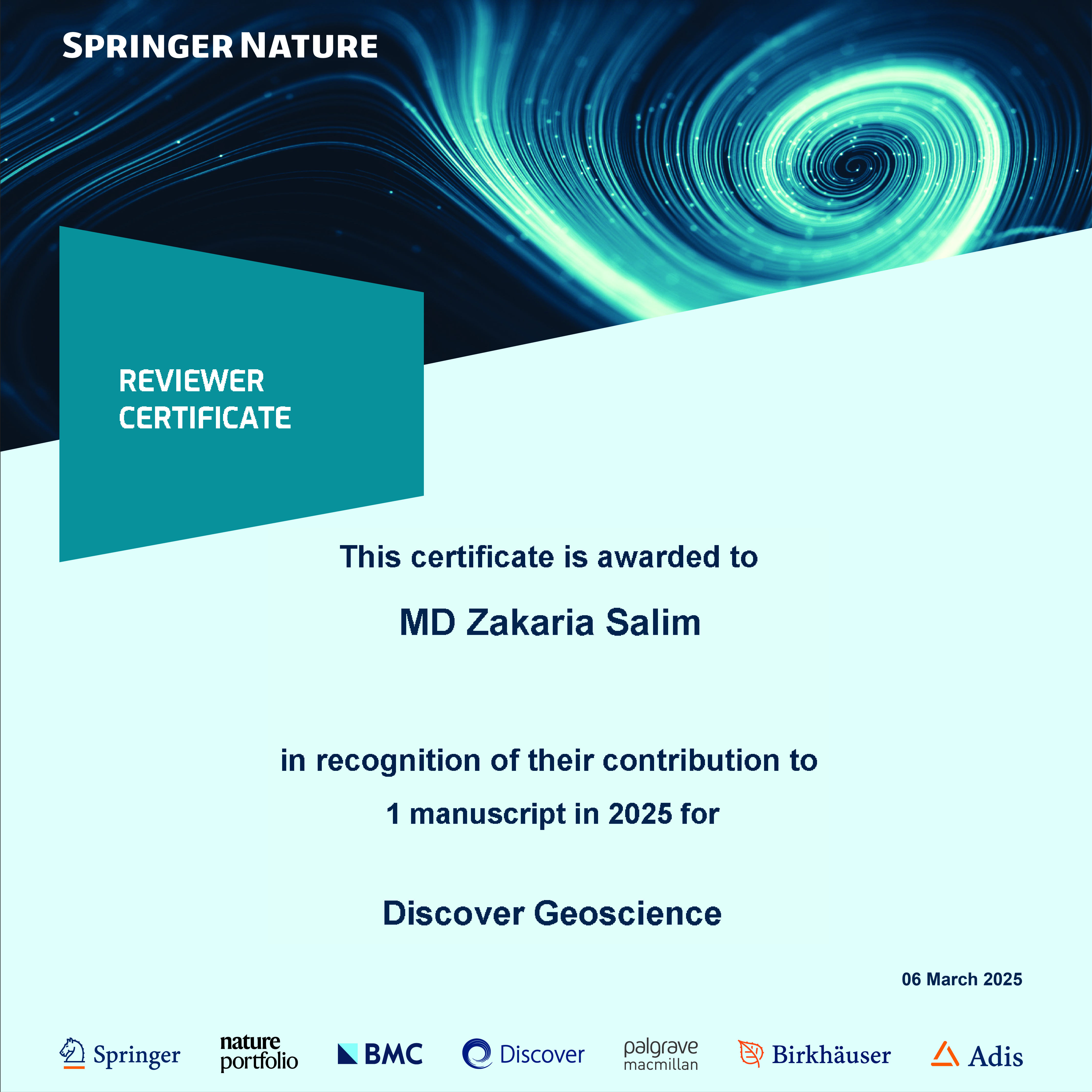
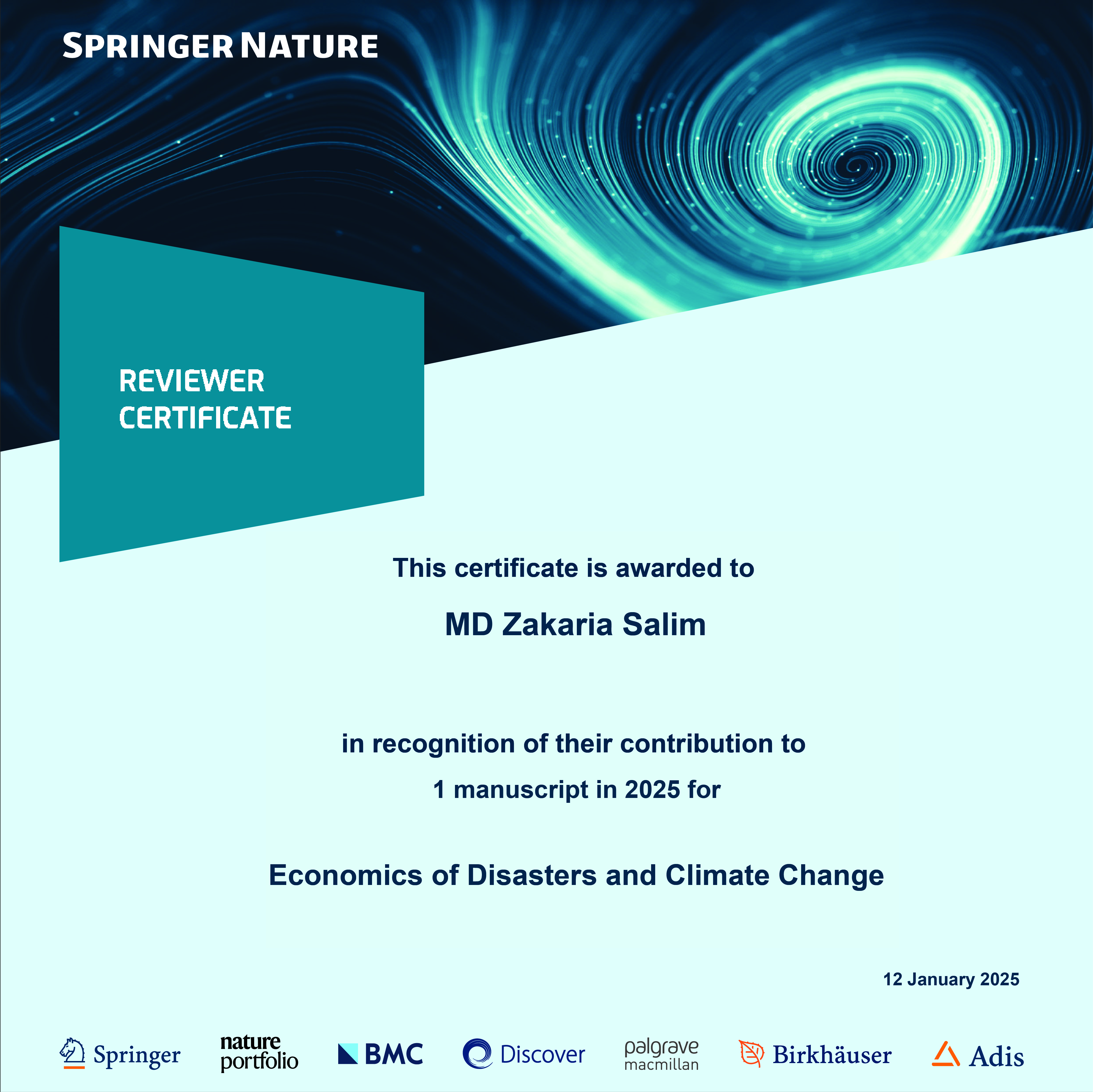
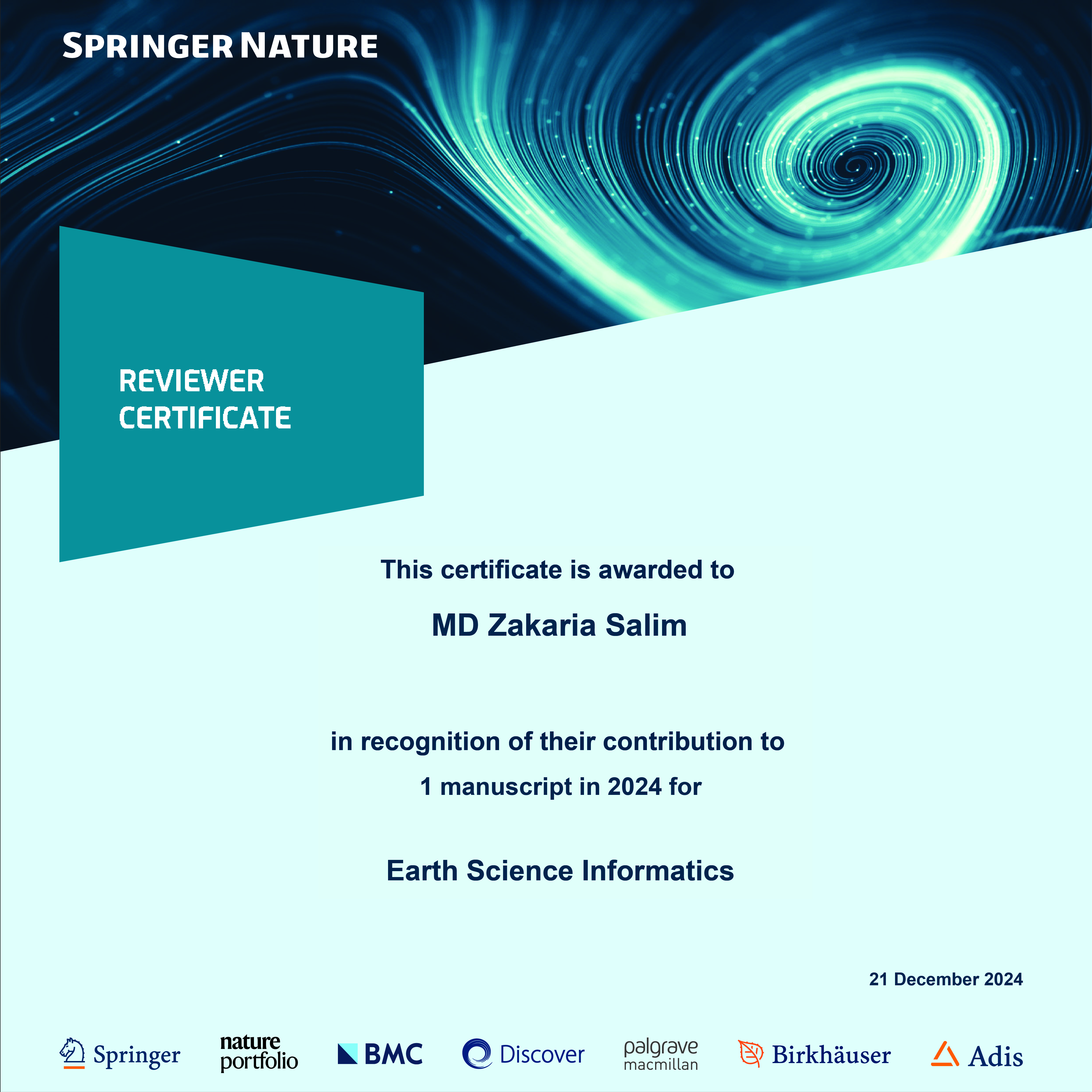
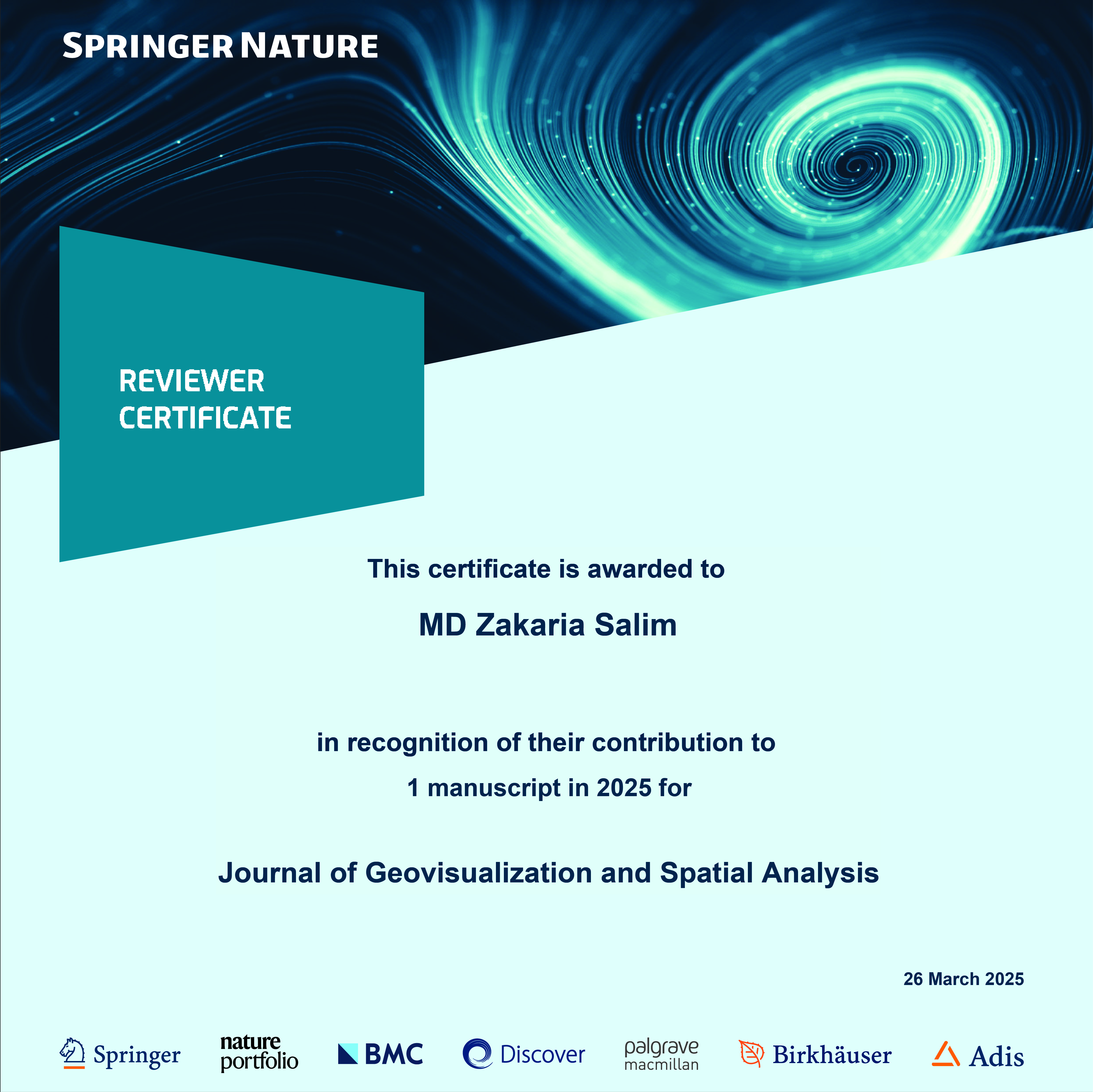
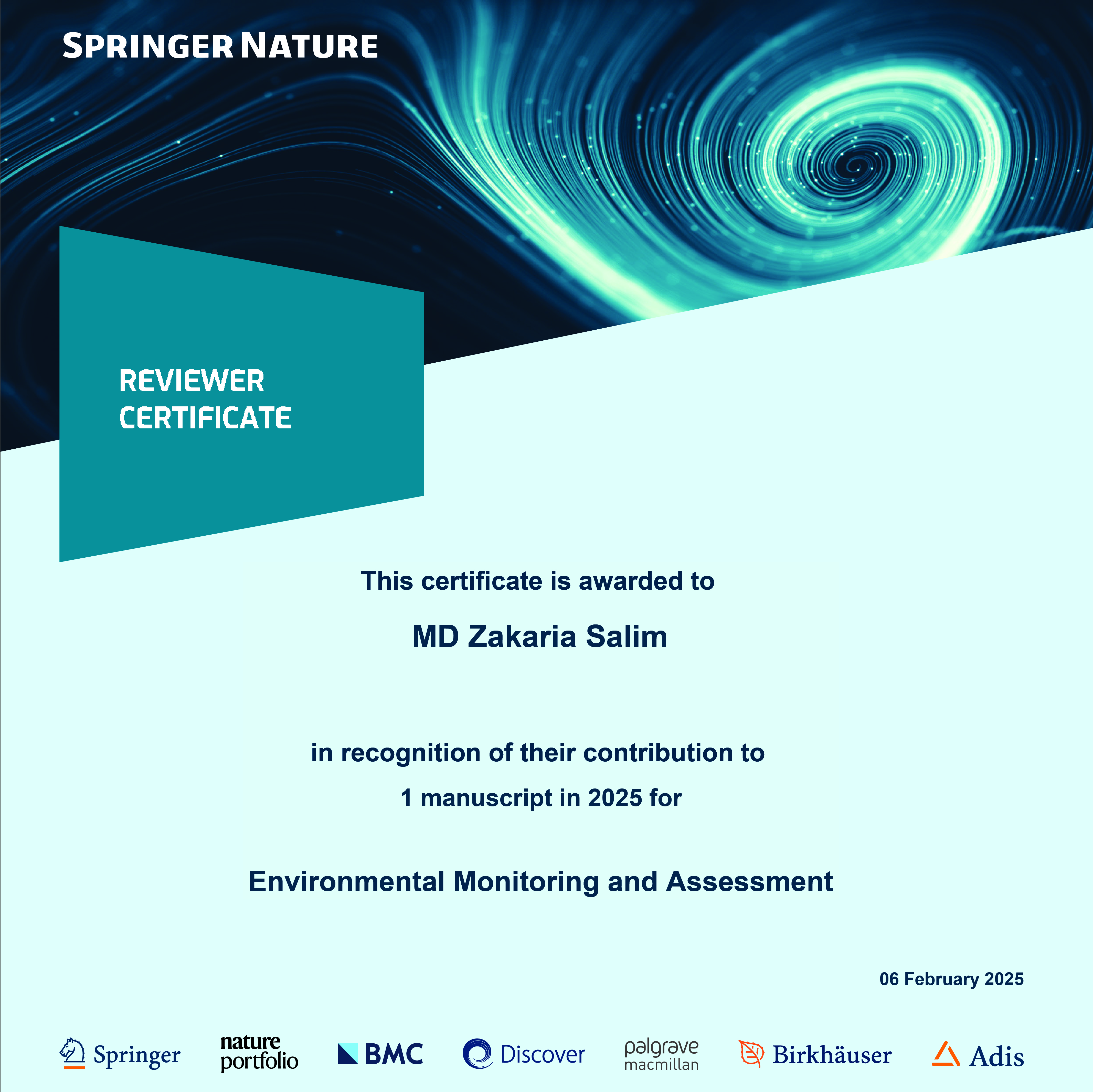
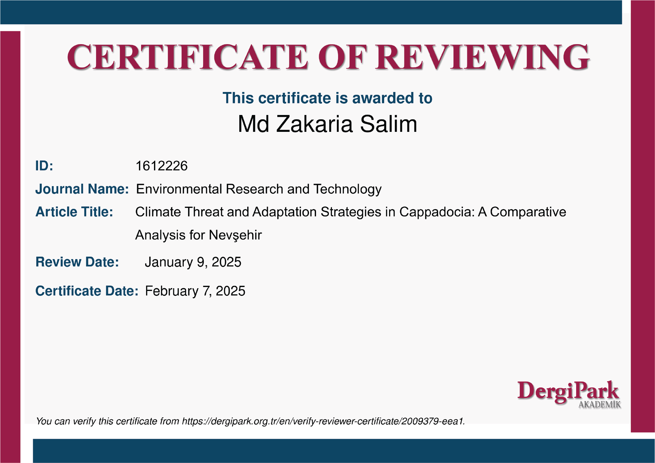
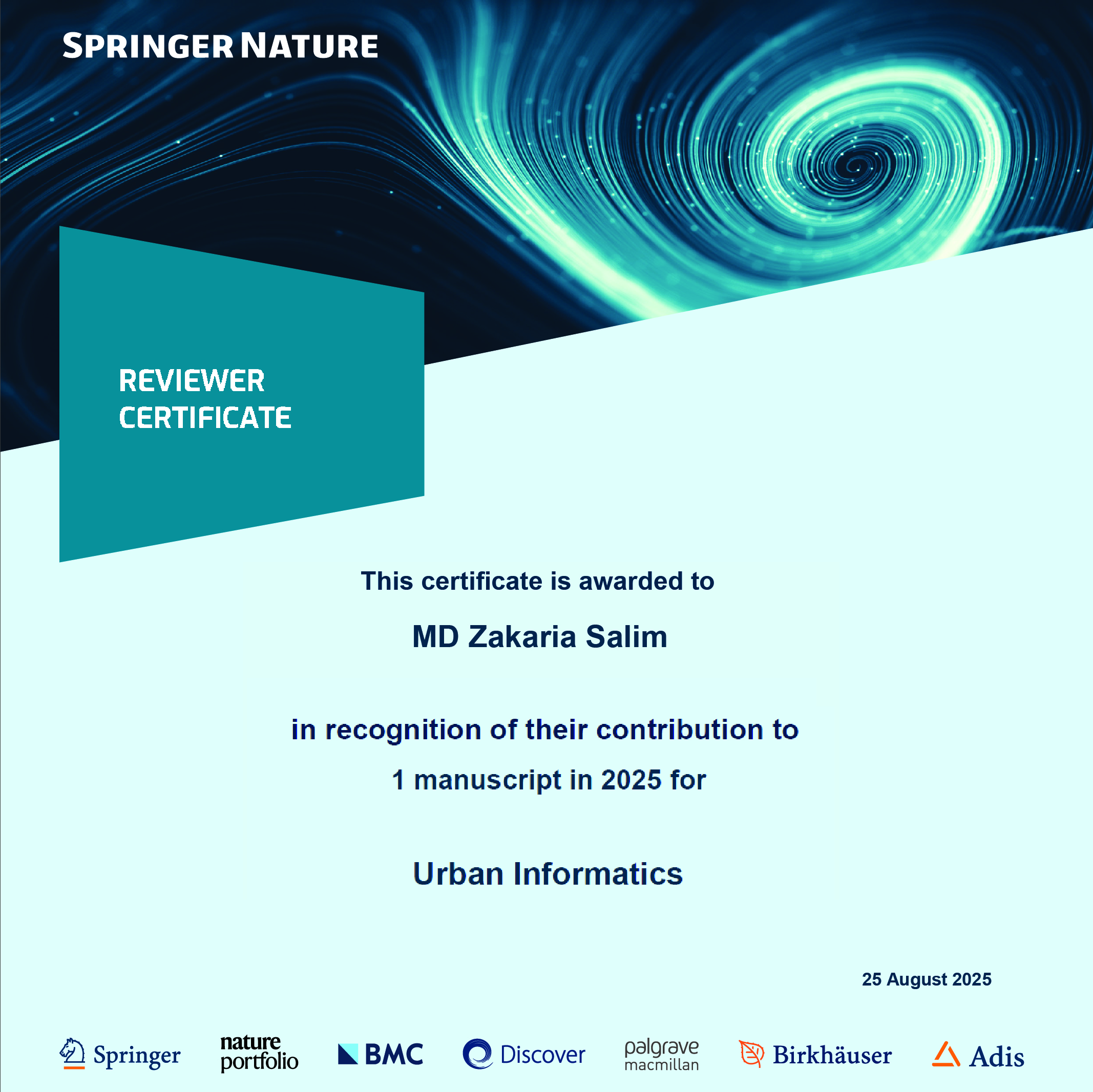
Active peer reviewer contributing to high-impact international journals in geosciences, urban computing, and disaster risk.

Interested in research collaborations, spatial modeling consultancies, or academic inquiries?